Trackers
GPS tracker (also GPS controller, tracker) is a device for receiving and transmitting data for satellite monitoring of vehicles, people, or other objects to which it is attached, using GPS to accurately determine the location of the object.
The system is designed to monitor monitoring objects, provide detailed information about objects in real-time mode and in historical data mode for specified periods, and display information about objects on the map.
Interface
![]()
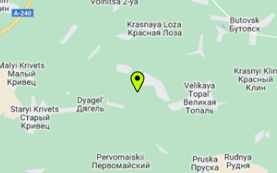
The interface of the Trackers tab consists of two visually separated blocks located side by side - these are the list of user trackers and the map on which active trackers are displayed with markers.
In the tracker table user can see the name of the tracker, the date and time of the tracker's last communication with the server, the speed of the tracker when it last communicated with the server, the color of the tracker marker to be displayed on the map.
Tracker Information
More detailed information is available by clicking the Show Info button.
![]()
Here is the detailed information about the gps tracker:
- IMEI number of the device.
- Host (domain or ip address). More information about hosts can be found in the corresponding section.
- Port. For more information about ports, please refer to the corresponding section.
- Tracker model
- Stop time - the number of seconds after which, if the object has stopped moving, it enters the stop mode.
- Parking time - the number of seconds after which, if the object has stopped moving, it enters the parking mode.
- Tracker color - for displaying on the map.
- Phone.
- Additional information.
- Average consumption (for the vehicle).
- Paid - date of expiration of the current tariff.
Here is detailed information about the GPS tracker, as well as information about the users with whom the owner shared this tracker. More about the Share Tracker functionality can be found in the corresponding section.
If the paid tariff time for the GPS tracker has expired, the tracker is marked as Expired.

Geo-Zones
To view and assign geo-zones, there are 2 buttons - Geo-Zones and Assign Geo-Zone. Advanced geoZones functionality is provided on the corresponding page.
Assigning a Geo-Zone
In order to assign the desired geo-zone to a tracker, you need to click the Assign Geo-Zone button in the table at the desired tracker.
![]()
This will open the geozone assignment window. You need to select a geo-zone, and also specify whether you want to track the tracker entering the geo-zone and leaving the geo-zone.
![]()
Once all values are set, you need to click the Assign button.
View tracker Geo-Zones
In order to view the list of tracker's geo-zones, you should press the Geo-zones button. After that a modal window will appear.
![]()
The window provides information about the geo-zones associated with the tracker, tracker tracking settings for each of them (entry/exit), and the date of geo-zone creation.
Unassigning Geo-Zones
To unlink a geo-zone from the tracker, you need to click Unassign in the geo-zone list view window.
All Geo-Zones functionality is also available on Geo-Zones page.
Map Display Management
Also in the tracker table, each tracker has some settings for displaying the tracker on the map. They consist of 3 checkboxes:

When the Visible on map checkbox is unchecked, the other checkboxes will be disabled. When the Realtime movement on the map checkbox is unchecked, it is impossible to enable the Tail on the map checkbox. Also, if the tariff for the current tracker is unpaid, all checkboxes except Visible on map will be disabled.
- The
Visible on mapcheckbox allows you to toggle the display of the tracker marker on the map. With the checkbox enabled, the user can observe the tracker marker on the map, highlighted in the corresponding color:

- The
Realtime movement on the mapcheckbox allows tracking the movement of the tracker marker on the map in real-time.

- The
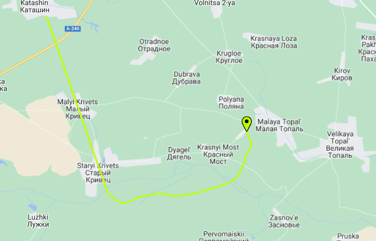
Tail on the mapcheckbox allows tracking the route of the tracker on the map.

Thus, through these 3 checkboxes, the user can manage the display of markers on the map.
Additional map functionality
Above the map are some control elements:

Clear map- clears the map of all routes and markers.Refresh map- Allows you to refresh the positions of all markers manually.- Dropdown list for changing map providers. More information about supported providers can be found in the Map section.